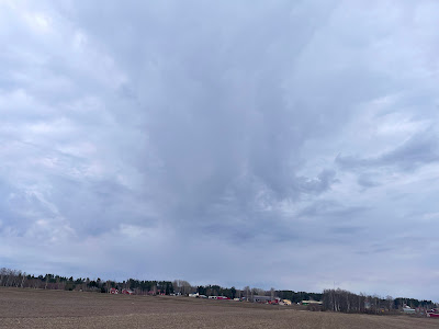
I was driving regional road 204 to Säkylä and it was raining quite heavily, but then I entered this opening and all of the sudden sun was shining brightly. I saw with my left that there was this tall cumulus cloud, kind of like mushroom cloud, but all white.
Cumulus clouds are low-level clouds characterized by their distinct puffy, cauliflower-like appearance. They form due to localized convection, where warm, moist air rises, cools, and condenses into visible water droplets or ice crystals.
The highest cumulonimbus clouds, which are a more intense type of cumulus cloud associated with thunderstorms, can reach peaks of up to 12,000 meters (39,000 feet) or even higher. So, while cumulus clouds themselves are generally found at lower altitudes, their more powerful cousins can soar to impressive heights


